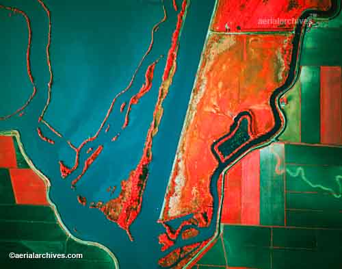
 Infrared aerial photos are an invaluable tool in the world of mapping. Infrared film is sensitive to a certain portion of the spectrum of light, and this information can provide valuable information about the landscape. This is an aerial of the Sacramento Deep Water Channel.
http://www.aerialarchives.com/imagedb/IR0010154f.jpg
No comments:
Post a Comment