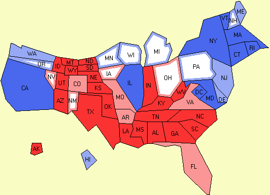
 A cartogram is an odd looking thematic map that trades a variable, such as electoral votes, for actual land size or mass. In this map, the US is shown in proportion to how many electoral votes each state has, with that number dictating how much space it takes up. Also, this map codes each state Republican or Democratic and how strong those respective populations are.
 http://electoral-vote.com/evp2007/Pres/Carto/Dec27-c.png
No comments:
Post a Comment